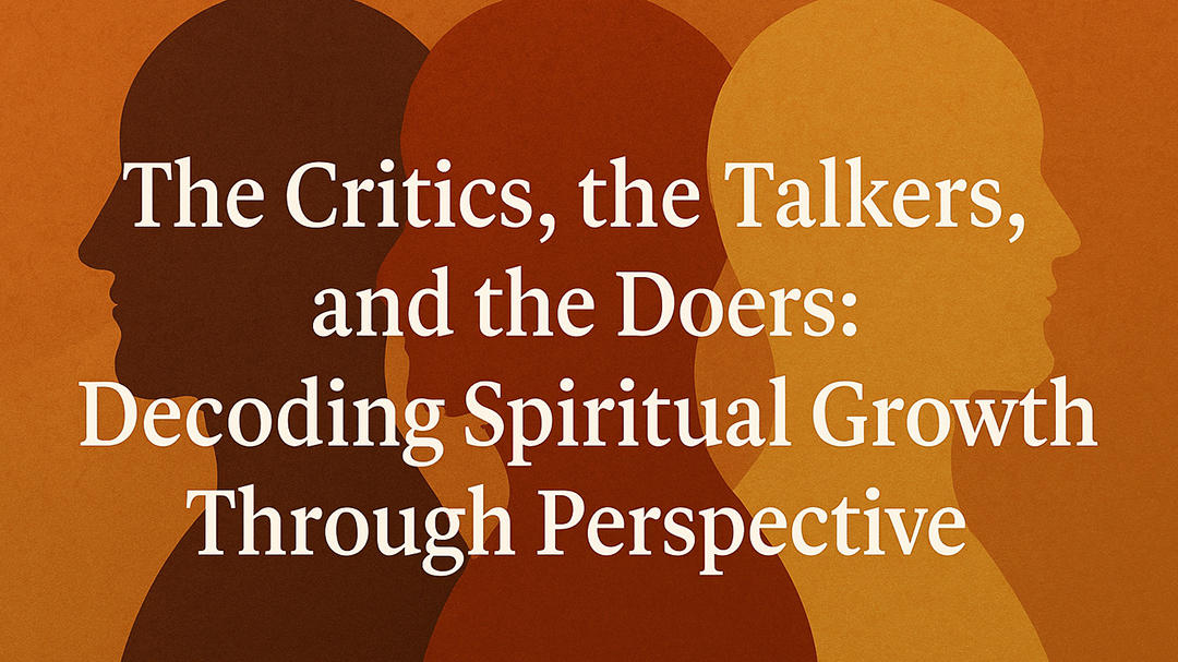
The Three Archetypes: Understanding How We Engage with Growth
Throughout history, people have approached personal and spiritual growth in different ways—some dissecting ideas, some discussing them, and others actively embodying them. These approaches reflect psychological patterns that shape how individuals interact with belief systems and transformation.
- The Critics question everything. They analyze, refine, and challenge concepts, ensuring ideas hold weight before accepting them. Critical thinking sharpens wisdom, but when overused, it can lead to hesitation—analyzing without engaging.
- The Talkers thrive in discussion. They explore theories, verbalize concepts, and share insights, enriching understanding. Conversations build connection, but without action, the knowledge remains theoretical rather than lived.
- The Doers immerse themselves in experience. They put belief into practice, learning through direct engagement. Their growth is shaped not just by reflection or conversation, but by movement—adapting based on what they live through.
Psychology recognizes these mindsets as patterns in cognitive engagement. Thought, discussion, and execution shape how individuals transform ideas into reality, with action serving as the primary force behind genuine change.
Science in Spiritual Growth
Spiritual progress often feels abstract, but neuroscience shows that repeated actions physically rewire the brain. Neuroplasticity confirms that behaviors shape neural pathways, meaning the more we practice an idea, the more ingrained it becomes.
Psychological research also highlights the role of embodiment—doing reinforces belief far more effectively than passive contemplation. The process of taking action reshapes perception, reinforcing confidence and deepening understanding in ways that theory alone cannot achieve.
Sets of Examples
- The Philosopher vs. The Seeker vs. The Practitioner
- The Philosopher critiques spiritual practices but doesn’t engage in them.
- The Seeker discusses many beliefs yet drifts from one idea to another without committing.
- The Practitioner integrates their understanding through daily discipline.
- The Business Strategist vs. The Idea Generator vs. The Entrepreneur
- The Strategist breaks down markets but avoids taking risks.
- The Idea Generator dreams up ventures but never executes them.
- The Entrepreneur builds businesses, learning through direct engagement.
Why Action Always Wins
Personal transformation relies not only on awareness but on execution. Studies on behavioral psychology confirm that progress is built through reinforcement—meaning change occurs when individuals act rather than when they simply conceptualize.
While reflection and discussion serve as valuable tools, growth requires lived experience. Shifts in perspective, skill development, and even belief systems become more stable when tested through action. This explains why wisdom isn’t just found in understanding, but in what is practiced daily.
Mundane Resolutions: Action in Daily Life
The value of action isn’t confined to grand, life-altering decisions—it’s present in daily behaviors. Whether it’s committing to a routine, following through on a task, or embodying a belief in the way one interacts with others, growth is continually shaped by action. Over time, small yet consistent efforts refine not only outcomes but perspectives.
In the end, awareness expands understanding, conversation deepens connection, but action builds reality.